
Country Canada RCM Témiscamingue Constituted November 18, 1924 Area 298.3 km² Population 304 (2011) Area code 819 | Region Abitibi-Témiscamingue Settled 1909 Time zone EST (UTC−5) Local time Monday 7:17 AM Province Québec | |
 | ||
Weather -26°C, Wind NW at 5 km/h, 71% Humidity Named for Élie-Anicet Latulipe, Tancrède-Charles Gaboury | ||
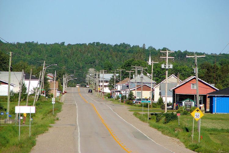
Latulipe-et-Gaboury is a United township municipality in northwestern Quebec, Canada, in the Témiscamingue Regional County Municipality. The only other remaining united township municipality in Quebec is Stoneham-et-Tewkesbury.
Contents
Map of Latulipe-et-Gaboury, QC, Canada
Demographics
Population trend:
Private dwellings occupied by usual residents: 141 (total dwellings: 202)
Mother tongue:
References
Latulipe-et-Gaboury, Quebec Wikipedia(Text) CC BY-SA