
Type Air Force Station Address Iceland Controlled by United States Air Force | In use 1992-2006 Year built 1992 | |
 | ||
People also search for RCAF Station Puntzi Mountain | ||
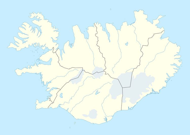
Latrar Air Station (NATO ID: H-4A) is a closed United States Air Force General Surveillance Radar station. It is located 153.2 miles (246.6 km) north of Naval Air Station Keflavik, Iceland. It was closed on 28 June 2006 as part of the closure of United States military facilities in Iceland.
History
Latrar Air Station was established as a North Atlantic Treaty Organization (NATO) radar station in 1992, replacing the original NATO AC&W radar site at Straumnes AS, (H-4). The station is located atop a mountain named Bolafjall near the village of Bolungarvik, about 21 air miles to the north-northeast of H-4.
It was operated by the 934th Air Control Squadron and was equipped with an AN/FPS-117v5 radar.
The mission of the station was to intercept and shadow all Soviet aircraft in transit in and from the GIUK gap which passed through the detection range of its radars and relay to the NAS Keflavik Radar Operations Control Center (ROCC).
Straumnes Air Station was inactivated on 28 June 2006 and presently remains unused.