Population 160 (2006 census) Postcode(s) 6616 Founded 1917 Local time Monday 4:33 PM | Established 1917 Elevation 291 m Postal code 6616 | |
 | ||
Location 311 km (193 mi) North North East of Perth55 km (34 mi) East of Carnamah107 km (66 mi) North West of Moora Weather 24°C, Wind W at 27 km/h, 49% Humidity | ||
Latham is a small town in the Mid West region of Western Australia.
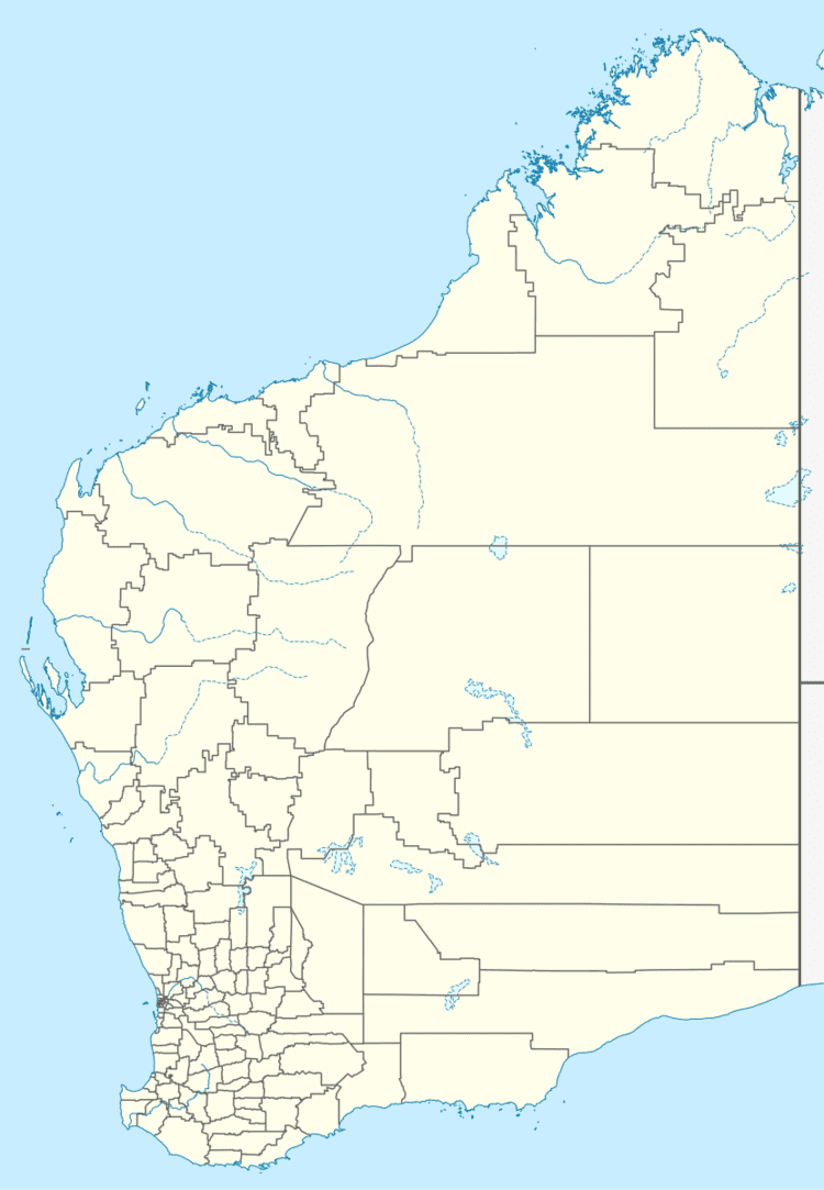
Map of Latham WA 6616, Australia
The town is named after a large granite rock, Latham Rock, that is located close to the townsite. The rock was named after an early pastoralist in the region who established a watering place for stock being droved through the area.
The townsite originated as a result of the planned construction of the railway from Wongan Hills to Mullewa in 1913. The Public Works department decided that the area would be suitable as a railway station and a townsite. The railway opened for service in 1915 and the townsite was gazetted in 1917.
The bulk wheat bin was opened in November 1936.
The surrounding areas produce wheat and other cereal crops. The town is a receival site for Cooperative Bulk Handling.
