
Total islands 8 Highest elevation 138 m (453 ft) Elevation 138 m | Major islands DawsonKeaawan Highest point Mount Dawson Area 200 ha Adjacent body of water Solomon Sea | |
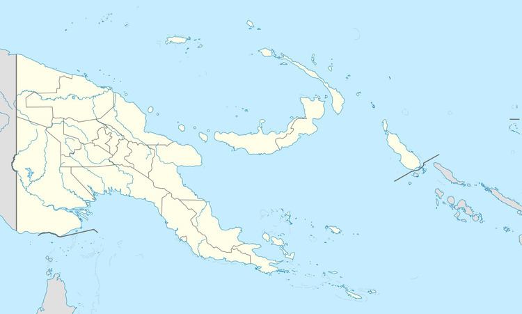 | ||
The Laseinie Islands are an archipelago in the Solomon Sea. Politically they belong to Bwanabwana Rural LLG of Samarai-Murua District of Milne Bay Province, in the southeastern region of Papua New Guinea. They are located southeast of the D'Entrecasteaux Islands. They are part of the Louisiade Archipelago.
Map of Laseinie Islands, Papua New Guinea
The Laseinie Islands are located on a flat sandbank, 16 km wide and 7 km long. The northern edge of the bank is marked by a series of reefs, on which several groups of small islands are located. In the West, there are 2 small islands belonging to a sub-group of Hardman Islands. The main islands are on the northern part of the bank, and consist of the Kagawan group (2 small islands), Dawson Island, Keaawan Island, and another tiny island southeast of Dawson.
The 245 inhabitants (2014 census) live all in the main island of Dawson. They speak Bwanabwana Language.