Country United States Zip Code 78076 Area 18 ha Population 67 (2010) | Time zone Central (CST) (UTC-6) FIPS code 48-41579 Elevation 154 m Local time Sunday 7:52 PM | |
 | ||
Weather 16°C, Wind NE at 8 km/h, 87% Humidity | ||
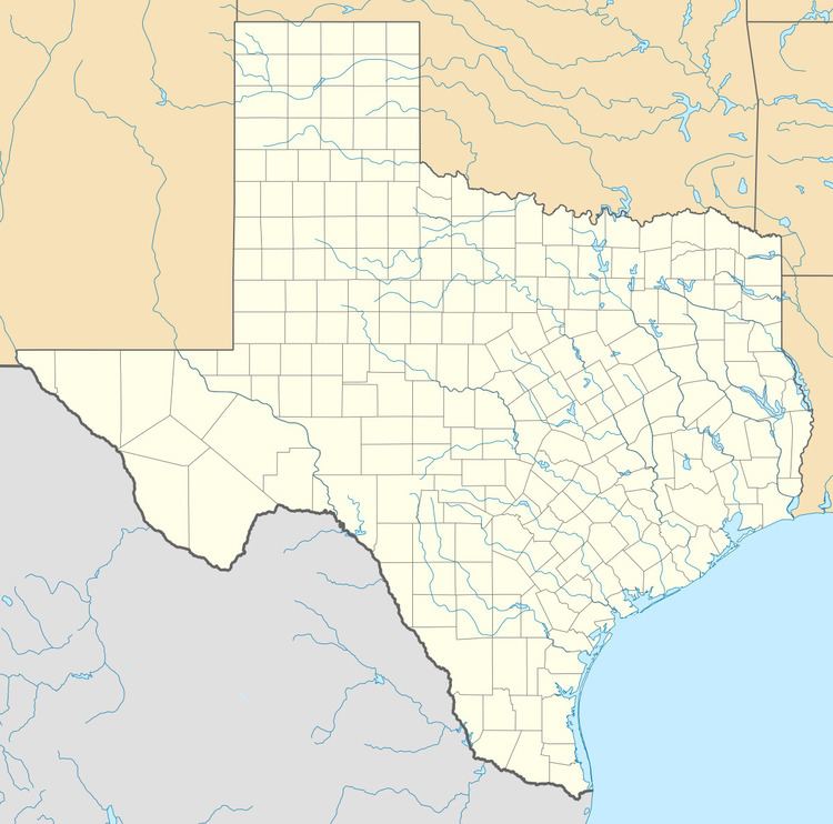
Las Palmas is a census-designated place (CDP) in Zapata County in the U.S. state of Texas. It was a new CDP from the 2010 census with a population of 67. It is part of the Zapata Micropolitan Statistical Area.
Contents
Map of Las Palmas, TX 78076, USA
Geography
Las Palmas is in western Zapata County, 4 miles (6 km) north of the center of Zapata, the county seat.
According to the United States Census Bureau, the Las Palmas CDP has a total area of 0.07 square miles (0.18 km2), all of it land.
References
Las Palmas, Texas Wikipedia(Text) CC BY-SA
