
Country United States Elevation 720 m Local time Sunday 5:30 PM | GNIS feature ID 0471401 Area 371.4 km² Population 80 (2000) | |
 | ||
Weather 16°C, Wind S at 26 km/h, 36% Humidity | ||
Larrabee Township is a township in Gove County, Kansas, USA. As of the 2000 census, its population was 80.
Contents
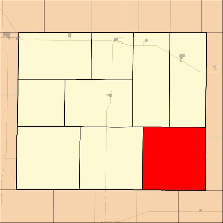
Map of Larrabee, KS, USA
Geography
Larrabee Township covers an area of 143.39 square miles (371.4 km2) and contains no incorporated settlements. According to the USGS, it contains two cemeteries: Alanthus and Morning Star.
The streams of Big Windy Creek, Indian Creek and Sand Creek run through this township.
Transportation
Larrabee Township contains one airport or landing strip, Castle Rock Ranch Airport.
References
Larrabee Township, Gove County, Kansas Wikipedia(Text) CC BY-SA