
Country Canada Time zone MST (UTC-7) Local time Sunday 4:08 PM | Area 22 ha Population 44 (2016) | |
 | ||
Weather -13°C, Wind SE at 19 km/h, 81% Humidity | ||
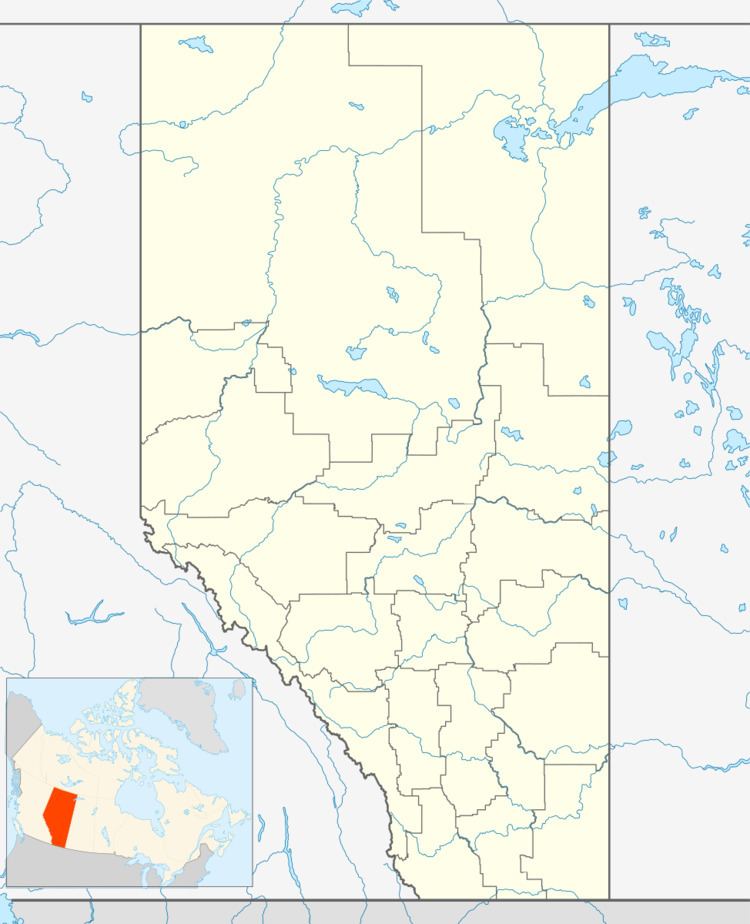
Larkspur is a summer village in Alberta, Canada. It is located north of Westlock and south of Athabasca, east of Highway 44 and west of Highway 2.
Contents
Map of Larkspur, AB, Canada
Demographics
In the 2016 Census of Population conducted by Statistics Canada, the Summer Village of Larkspur recorded a population of 44 living in 23 of its 89 total private dwellings, a 7001158000000000000♠15.8% change from its 2011 population of 38. With a land area of 0.26 km2 (0.10 sq mi), it had a population density of 169.2/km2 (438.3/sq mi) in 2016.
In the 2011 Census, the Summer Village of Larkspur had a population of 38 living in 16 of its 69 total dwellings, a -32.1% change from its 2006 population of 56. With a land area of 0.22 km2 (0.085 sq mi), it had a population density of 172.7/km2 (447.4/sq mi) in 2011.