
Country Brazil Elevation 9 m (30 ft) Area 162.3 km² Local time Sunday 5:07 PM | Founded August 7, 1832 Demonym(s) Laranjeirense Population 29,418 (2016) | |
 | ||
Weather 28°C, Wind E at 24 km/h, 71% Humidity Points of interest Museu Afro‑Brasileiro de Sergipe, Ruinas do Hospital São João, Igreja do Senhor do Bonfim, Centro de Tradições, Igreja de Nossa Senhora | ||
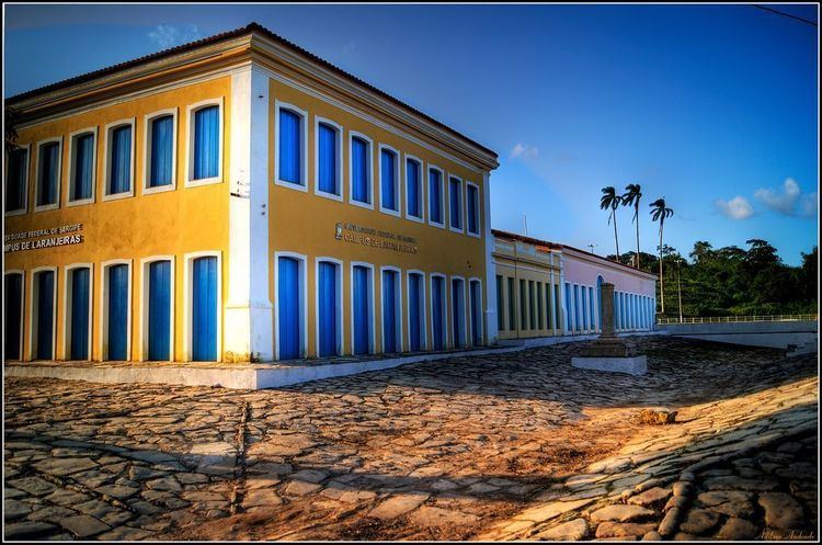
Laranjeiras (English: Orange trees) is a municipality located in the Brazilian state of Sergipe. Its population was 29,418 (2016) and covers 162.27 km2 (62.65 sq mi). Laranjeiras has a population density of 180 inhabitants per square kilometer. Laranjeiras is located 19 km (12 mi) from the state capital of Sergipe, Aracaju. It borders the municipalities of Riachuelo, Areia Branca, Nossa Senhora do Socorro, São Cristóvão, Maruim, and Santo Amaro das Brotas, all within the state of Sergipe. The municipality contains part of the Serra de Itabaiana National Park.
Map of Laranjeiras - State of Sergipe, Brazil
References
Laranjeiras, Sergipe Wikipedia(Text) CC BY-SA