
State Amapá Elevation 7 m (22 ft) Area 30,966 km² Local time Sunday 5:06 PM | Founded December 17, 1987 Time zone UTC-3 (UTC-3) Population 39,285 (2012) | |
 | ||
Weather 27°C, Wind E at 8 km/h, 91% Humidity | ||
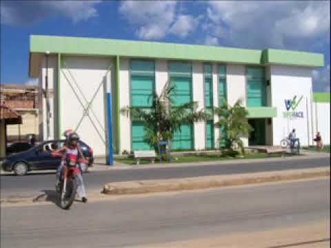
Laranjal do Jari (Jari Orangery) is a municipality located in the west of the state of Amapá in Brazil. It is the only municipality in the west boundaries of Amapá, except for a small part of Vitória do Jari. Its population is 41,688 and its area is 29,699 km², which makes it the largest municipality of Amapá.
Map of Laranjal do Jari - State of Amap%C3%A1, Brazil
The municipality contains 39% of the 501,771 hectares (1,239,900 acres) Rio Cajari Extractive Reserve, created in 1990. It also contains 69% of the 806,184 hectares (1,992,120 acres) Rio Iratapuru Sustainable Development Reserve, created in 1997.
References
Laranjal do Jari Wikipedia(Text) CC BY-SA