
County Sogn og Fjordane Municipality Jølster Area 68 ha Population 726 (2013) | Elevation 185 m (607 ft) Local time Sunday 1:47 PM | |
 | ||
Weather 2°C, Wind E at 3 km/h, 94% Humidity | ||
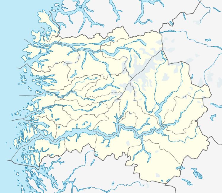
Langhaugane is a village along the river Jølstra in the municipality of Jølster in Sogn og Fjordane county, Norway. It is located along the European route E39 highway, about 2 kilometres (1.2 mi) west of the village of Vassenden, near the western end of the lake Jølstravatnet. The municipal center of Skei is 25 kilometres (16 mi) northeast of Langhaugane at the other end of the lake, and the town of Førde is located about 17 kilometres (11 mi) to the southwest.
Map of 6847 Langhaugane, Norway
The 0.68-square-kilometre (170-acre) village has a population (2013) of 726, giving the village a population density of 1,068 inhabitants per square kilometre (2,770/sq mi).
References
Langhaugane Wikipedia(Text) CC BY-SA