
Country Canada Dissolved January 1, 1946 Area 3.44 km² Population 3,653 (2011) Local time Sunday 5:57 AM | Incorporated (village) August 31, 1907 Time zone MST (UTC-7) Elevation 1,005 m | |
 | ||
Weather -17°C, Wind N at 8 km/h, 84% Humidity | ||
Langdon is a hamlet in southern Alberta, Canada under the jurisdiction of Rocky View County. It previously held village status between August 31, 1907 and January 1, 1946.
Contents
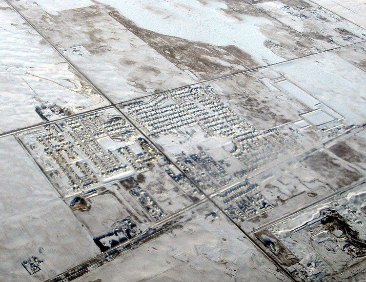
Map of Langdon, AB, Canada
Langdon is located 12 km (7.5 mi) east of the City of Calgary at the intersection of Highway 560 (Glenmore Trail) and Highway 797, approximately 6 km (3.7 mi) south of the Trans Canada Highway and 7 km (4.3 mi) north of Highway 22X. It has an elevation of 1,005 m (3,297 ft).
The hamlet is located in Census Division No. 6 and in the federal riding of Bow River. The hamlet is represented in federal government by Member of Parliament Martin Shields and in municipal government by Councillor Rolly Ashdown.
History
Langdon was named for R.B. Langdon of Langdon & Shepard, a Canadian Pacific Railway subcontracting firm who built a section of the line just east of Calgary. He was born in Vermont in 1826 and worked on the railroad lines within at least ten US states, notably the St. Paul & Pacific Railroad in 1858. Langdon served as a state senator in Minnesota from 1873 to 1881. The nearby Shepard station was named for his partner. Langdon was one of two people to turn the first sod in the settlement in 1882. A year later, a railway station was set up in a boxcar and named after him.
A post office was established on January 1, 1890 and a telegraph office in 1899. Langdon incorporated as a village on August 31, 1907. It subsequently dissolved on January 1, 1946 to become part of the Municipal District of Conrich No. 44.
Demographics
Rocky View County's 2013 municipal census counted a population of 4,897 in Langdon, an 87.1% change from its 2006 municipal census population of 2,617. Its population in 2000 was 1,658.
In the 2011 Census, by combining its adjacent population centre and designated place geographies, Langdon had a population of 3,653 living in 1,125 of its 1,157 total dwellings, a 40.8% change from its 2006 population of 2,595. With a land area of 3.44 km2 (1.33 sq mi), it had a population density of 1,061.9/km2 (2,750/sq mi) in 2011.
As of 2006, Langdon had a total population of 2,595 living in 811 dwellings. With a land area of 3.33 km2 (1.29 sq mi), it has a population density of 779.3/km2 (2,018/sq mi).
These figures were derived from summing Langdon's urban area Statistics Canada data with its designated place Statistics Canada data. More specifically:
Langdon's 2006 urban area and designated place boundaries are contiguous with no overlaps.
Attractions
Langdon is home to the Boulder Creek Golf Course.
Education
Langdon School provides education to students in kindergarten through grade 9. Sarah Thompson School provides education to students from K-5.