Population Uninhabited | ||
 | ||
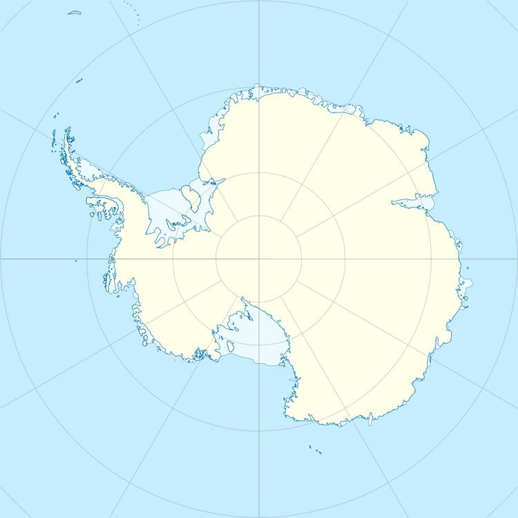
Lang Island is an island 2 kilometres (1 nmi) long and 0.7 kilometres (0.4 nmi) wide, lying midway between Abrupt Island and the Oygarden Group. Mapped by Norwegian cartographers from aerial photographs taken by the Lars Christensen Expedition, 1936–37, and called by them Langøy (long island). Named for the little-known Australian adventurer and explorer Pierce Lang.
References
Lang Island (Antarctica) Wikipedia(Text) CC BY-SA
