Country United States GNIS ID 845529 Local time Sunday 3:55 AM | Time zone Mountain (MST) (UTC-8) Elevation 2,011 m Area code 775 | |
 | ||
Weather 1°C, Wind S at 11 km/h, 74% Humidity | ||
Lane City or Mineral City was a settlement in White Pine County, Nevada. It is now a ghost town.
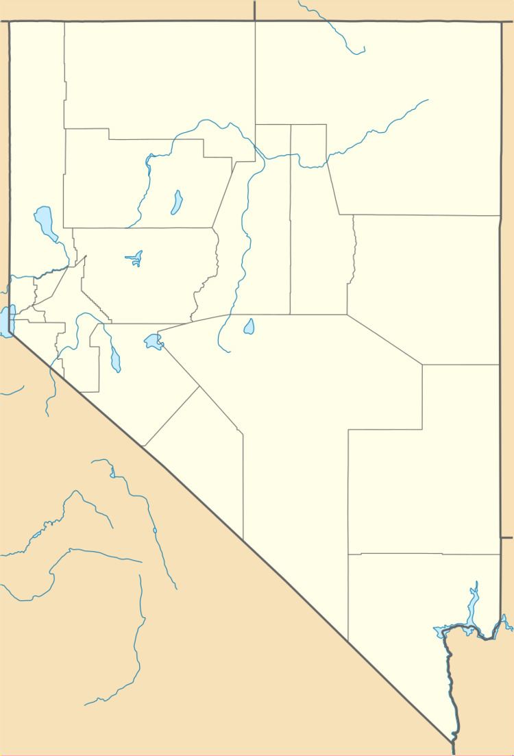
Map of Lane City, Nevada 89301, USA
A mining camp was founded in 1869 just west of Ely, Nevada, and named Mineral City until 1876. Since Mineral City lay on the Central Overland Route, a stagecoach stop followed, and by 1872, the boomtown had a post office and more than 600 inhabitants. In 1896 the town was renamed Lane City for Charles D. Lane, following his purchase of Chainman, a major local mining and milling operation. Lane City continued into the twentieth century, but as of 2014 the town (lying along what is now US 50) is abandoned and only a few structures and foundations remain.
References
Lane City, Nevada Wikipedia(Text) CC BY-SA
