
Country Canada RCM Abitibi Constituted July 15, 1918 Area 274.9 km² Local time Sunday 5:46 AM Area code 819 | Region Abitibi-Témiscamingue Settled 1910s Time zone EST (UTC−5) Population 977 (2011) Province Québec | |
 | ||
Weather -24°C, Wind NW at 13 km/h, 79% Humidity | ||
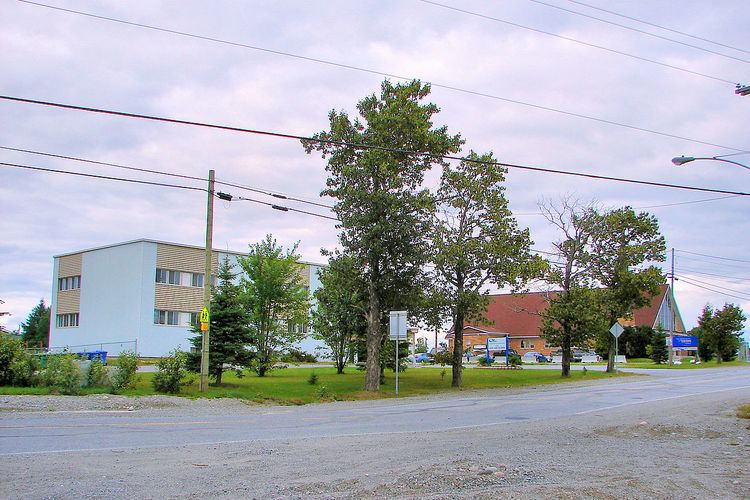
Landrienne is a township municipality in the Canadian province of Quebec, located in the Abitibi Regional County Municipality. It is part of the census agglomeration of Amos.
Contents
Map of Landrienne, QC, Canada
Originally known as Saint-Barnabé-de-Landrienne, the place was named in honor of Jean-Marie Landriève Des Bordes (1712–1778), a French naval officer and Administrative Inspector.
Demographics
The township had a population of 977 as of the Canada 2011 Census, and a land area of 276.83 square kilometres. Private dwellings occupied by usual residents are 379, out of 390 total dwellings. Mother tongues are:
Population trend:
Municipal council
References
Landrienne, Quebec Wikipedia(Text) CC BY-SA