
OS grid reference NH749766 Sovereign state United Kingdom Postcode district IV18 0 Local time Sunday 2:39 AM | Council area Highland | |
 | ||
Weather 3°C, Wind N at 0 km/h, 90% Humidity | ||
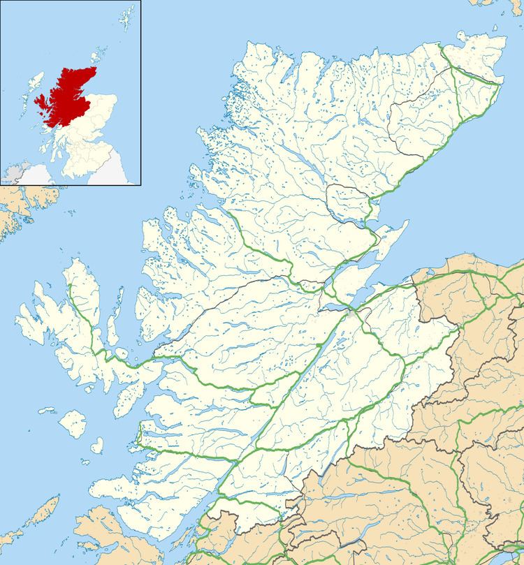
Lamington is a village, which sits in the southern edges of the Morangie forest in Eastern Ross-shire, Scottish Highlands and is in the Scottish council area of Highland.
Map of Lamington, Invergordon, UK
The village of Tain is located 4 miles to the northeast.
References
Lamington, Highland Wikipedia(Text) CC BY-SA