
Country United States Zip Code 78043 Area 12.7 km² Local time Saturday 5:44 PM | Time zone Central (CST) (UTC-6) FIPS code 48-41092 Population 636 (2010) | |
 | ||
Weather 22°C, Wind E at 18 km/h, 85% Humidity | ||
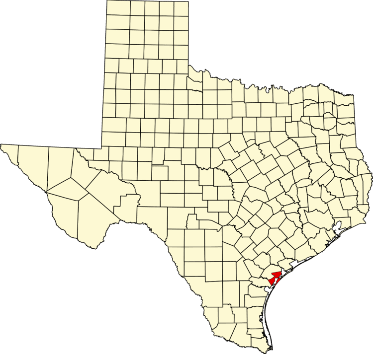
Lamar is a small, unincorporated community and census-designated place (CDP) in Aransas County, Texas, United States, 10 miles (16 km) north of Rockport and 40 miles (64 km) north of Corpus Christi. As of the 2010 census it had a population of 636. The community was named for Mirabeau B. Lamar, the second president of the Republic of Texas. This was a new CDP for the 2010 census.
Contents
Map of Lamar, TX 78382, USA
Lamar was founded in 1839 at Lookout Point, on the channel entrance to Copano Bay. President Lamar agreed to relocate the custom house here, and the town thrived as a port and the site of a salt works. This prosperity ended abruptly on February 11, 1864, when the town was bombarded and practically obliterated by the Union Navy.
For most of the 20th century the population was less than 200, but by the 2010 census it was over 600. The restored cemetery is a Texas historical landmark. Goose Island State Park is within the CDP.
Geography
Lamar is located at 28°8′25″N 96°59′16″W (28.140340, -96.987818). According to the United States Census Bureau, the CDP has a total area of 4.9 square miles (13 km2), of which, 3.1 square miles (8.0 km2) of it is land and 1.8 square miles (4.7 km2) is water.