
Country United States FIPS code 31-26175 Area 18 ha Zip code 69023 Population 24 (2013) | Time zone Mountain (MST) (UTC-7) GNIS feature ID 0830601 Elevation 1,073 m Local time Saturday 4:43 PM Area code 308 | |
 | ||
Weather 12°C, Wind SE at 14 km/h, 64% Humidity | ||
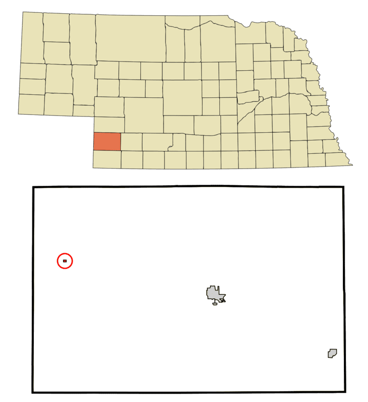
Lamar is a village in Chase County, Nebraska, United States. The population was 23 at the 2010 census.
Contents
Map of Lamar, NE 69023, USA
History
Burlington was laid out at its current site in 1887 when the Chicago, Burlington and Quincy Railroad was extended to that point. It was named for Lucius Quintus Cincinnatus Lamar II, who served as United States Secretary of the Interior in the Grover Cleveland administration.
A post office was established at Lamar in 1887, and remained in operation until it was discontinued in 1995.
Geography
Lamar is located at 40°34′21″N 101°58′40″W (40.572451, −101.977822).
According to the United States Census Bureau, the village has a total area of 0.07 square miles (0.18 km2), all of it land.
2010 census
As of the census of 2010, there were 23 people, 11 households, and 4 families residing in the village. The population density was 328.6 inhabitants per square mile (126.9/km2). There were 12 housing units at an average density of 171.4 per square mile (66.2/km2). The racial makeup of the village was 100.0% White.
There were 11 households of which 18.2% had children under the age of 18 living with them, 36.4% were married couples living together, and 63.6% were non-families. 36.4% of all households were made up of individuals and 27.3% had someone living alone who was 65 years of age or older. The average household size was 2.09 and the average family size was 3.25.
The median age in the village was 54.5 years. 17.4% of residents were under the age of 18; 0.0% were between the ages of 18 and 24; 21.7% were from 25 to 44; 30.4% were from 45 to 64; and 30.4% were 65 years of age or older. The gender makeup of the village was 47.8% male and 52.2% female.
2000 census
As of the census of 2000, there were 19 people, 10 households, and 6 families residing in the village. The population density was 248.3 people per square mile (91.7/km²). There were 12 housing units at an average density of 156.8 per square mile (57.9/km²). The racial makeup of the village was 100.00% White. Hispanic or Latino of any race were 10.53% of the population.
There were 10 households out of which 30.0% had children under the age of 18 living with them, 40.0% were married couples living together, 10.0% had a female householder with no husband present, and 40.0% were non-families. 40.0% of all households were made up of individuals and 30.0% had someone living alone who was 65 years of age or older. The average household size was 1.90 and the average family size was 2.50.
In the village, the population was spread out with 15.8% under the age of 18, 5.3% from 18 to 24, 10.5% from 25 to 44, 42.1% from 45 to 64, and 26.3% who were 65 years of age or older. The median age was 50 years. For every 100 females there were 137.5 males. For every 100 females age 18 and over, there were 100.0 males.
As of 2000 the median income for a household in the village was $23,750, and the median income for a family was $28,750. Males had a median income of $25,625 versus $33,750 for females. The per capita income for the village was $14,463. There were no families and 12.5% of the population living below the poverty line, including no under eighteens and 50.0% of those over 64.