
Barangays Area 140.2 km² Local time Sunday 6:00 AM | Founded March 22, 1949 Time zone PST (UTC+8) | |
 | ||
District 2nd district of Lanao del Norte Weather 24°C, Wind SW at 3 km/h, 92% Humidity | ||
Lala is a first class municipality in the province of Lanao del Norte, Philippines. According to the 2015 census, it has a population of 67,727 people.
Contents
Map of Lala, Lanao del Norte, Philippines
Geography
Lala is a vast plain within the Kapatagan Valley, consisting of 14,025 hectares (34,660 acres) along the coast of Panguil Bay. It is located about 14 kilometres (8.7 mi) from the municipality of Tubod, the seat of the provincial government, and 67.5 kilometres (41.9 mi) south-west of Iligan, the commercial center of the province. It is geographically bounded on the north-west by Panguil Bay, on the north-east by the municipality of Baroy, on the south by the municipality of Kapatagan and on the east by the municipality of Salvador.
Barangays
Lala is politically subdivided into 27 barangays.
Economy
The economy in Lala is based mostly on agriculture and fishery-based type. Its main crops are rice, corn, coconut, and kalamansi (Philippine Lime). It likewise produces fishery products from marine fishing and fishpond operation in the Panguil Bay area.
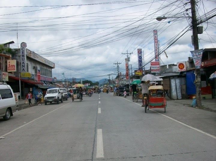
Most of the commercial establishments are located in Barangay Maranding, which is now becoming the center of trade, commerce, and education in the western part of Lanao del Norte. It is also the highest income-generating municipality in Lanao del Norte. The town has four (4) FM stations located there.