Established 1904 Elevation 331 m Postal code 6431 | Postcode(s) 6431 Founded 1904 Local time Sunday 4:36 AM | |
 | ||
Location 605 km (376 mi) ENE of Perth10 km (6 mi) SE of Kalgoorlie Weather 15°C, Wind E at 24 km/h, 65% Humidity Lga City of Kalgoorlie-Boulder | ||
Lakewood is a ghost town in Western Australia, located between Kalgoorlie and Kambalda in the Goldfields-Esperance region of Western Australia.
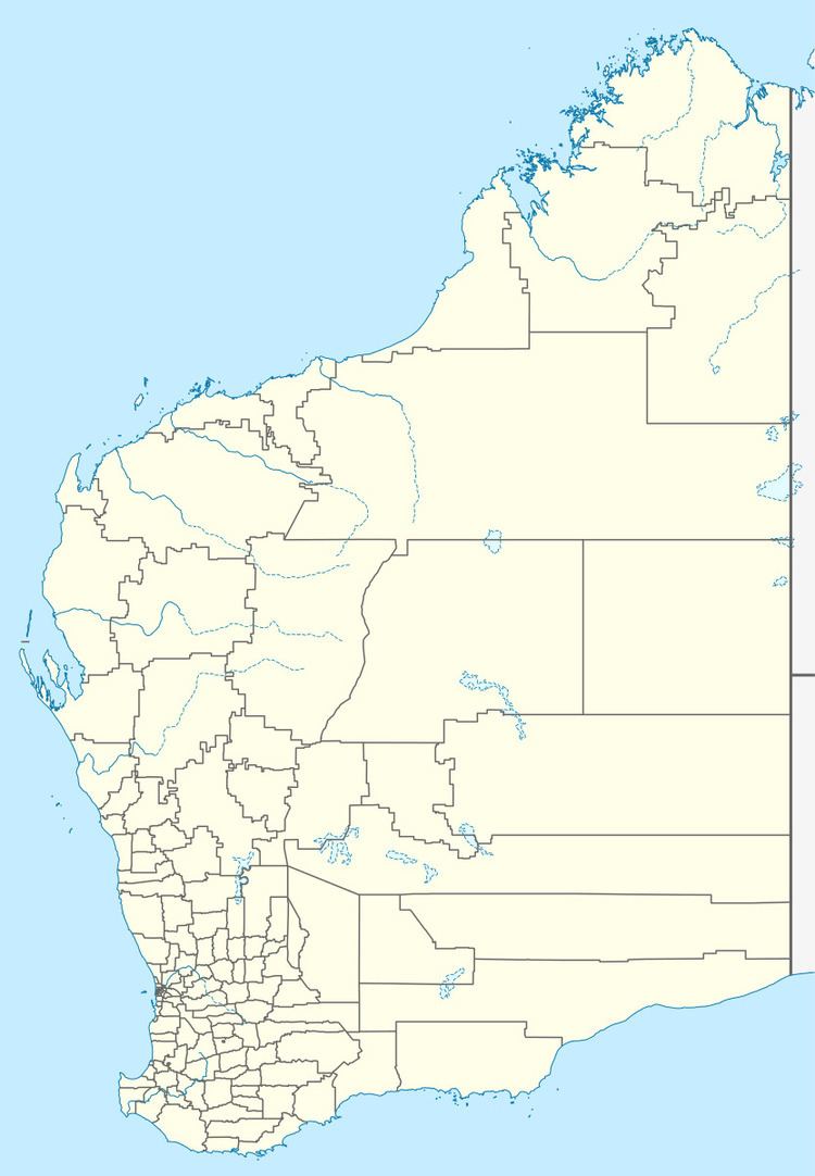
Map of Lakewood WA 6431, Australia
Originally the town was known as Lakeside and in 1903 the local progress association lobbied the government for residential lots to be surveyed. The name Lakeside was not considered, as a town in Queensland with the same name already existed. The name Gnumballa was considered by the Kalgoorlie Road Board but when the town was gazetted in 1904 it was originally named Ngumballa. The name is Aboriginal in origin and is the local name for Hannan Lake. The name of the railway station remained as Lakeside and by 1909 the name of the town was also changed. Another station near Wiluna was named Lakeside in 1938 so the name of the town was once again changed this time to Lakewood. The town was not officially renamed until 1947.
