
Country United States FIPS code 29-40304 Elevation 287 m Population 483 (2010) | Time zone Central (CST) (UTC-6) GNIS feature ID 2587085 Zip code 64640 Area code 660 | |
 | ||
Area 22.79 km² (20.46 km² Land / 233 ha Water) | ||
Lake Viking is an unincorporated community and census-designated place (CDP) in Daviess County, Missouri, United States. The population was 483 at the 2010 census.
Geography
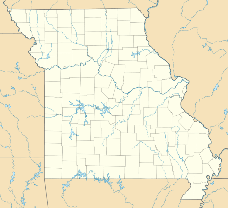
The Lake Viking CDP is located southwest of the center of Daviess County, around a reservoir named Lake Viking, an impoundment on South Big Creek, a tributary of the Grand River. The CDP extends southwest as far as the village of Altamont. The community is 3 miles (5 km) east of Interstate 35 and 68 miles (109 km) northeast of Kansas City.
According to the United States Census Bureau, the CDP has a total area of 8.8 square miles (22.7 km2), of which 7.9 square miles (20.4 km2) is land and 0.87 square miles (2.26 km2), or 9.97%, is water.
References
Lake Viking, Missouri Wikipedia(Text) CC BY-SA