
Average depth 0.7 m (2 ft 4 in) Settlements Abashiri, Koshimizu Area 9 km² Shore length 27 km | Surface area 9 km (3.5 sq mi) Max. depth 2.5 m (8 ft 2 in) Surface elevation 1 m Mean depth 70 cm Cities Abashiri, Koshimizu | |
 | ||
Similar Lake Abashiri, Genseikaen Station, Kitahama Station, Mount Tento, Hama‑Koshimizu Station | ||
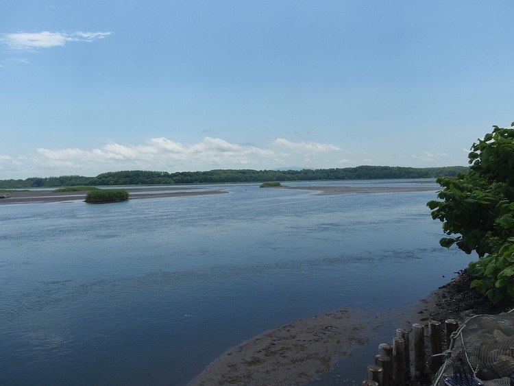
Lake Tōfutsu (濤沸湖, Tōfutsu-ko) is located in Abashiri and Koshimizu, Hokkaidō, Japan. It takes its name from the Ainu toputsu, or 'mouth of the lake'. A saline lagoon divided from the Sea of Okhotsk by sand dunes, Lake Tōfutsu provides an important habitat for wintering birds. In 2005 an area of 900 ha of wetlands was designated a Ramsar Site.
Map of Tofutsu Lake, Hokkaido Prefecture, Japan
References
Lake Tōfutsu Wikipedia(Text) CC BY-SA