
Max. width 3 km (1.9 mi) Surface elevation 750 m | Lake type fresh water Max. length 15 km (9.3 mi) Surface area 45 km (17 sq mi) Area 45 km² | |
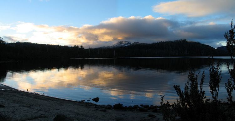 | ||
Lake St Clair is a lake in the Central Highlands area of Tasmania, Australia. It forms part of the Cradle Mountain-Lake St Clair National Park. It has an area of approx 45 km2 (17 sq mi), and a maximum depth of 160 m, making it Australia's deepest lake.
Map of Lake St Clair, TAS 7140, Australia
The Tasmanian Government has moved to allow development in national parks and conservations areas. An 'In principle' permit has been granted for the establishment of an 'eco-friendly' resort at Pumphouse Point at Lake St Clair. Construction began on the new development in 2014.
References
Lake St Clair (Tasmania) Wikipedia(Text) CC BY-SA