
Lake type Glacial lake , ice age Basin countries United States Max. width 2 mi (3.2 km) Surface elevation 390 m Width 3.2 km | Primary outflows Clyde River Max. length 3 mi (4.8 km) Area 7.009 km² Length 4.8 km Outflow location Clyde River | |
 | ||
Primary inflows | ||
Lake Seymour is located in the town of Morgan in Orleans County, Vermont, an area known as the Northeast Kingdom. The lake was named for Israel Seymour, one of the original grantees. Natives called it Namagonic ("salmon trout spearing place"). It is the second largest natural lake in Vermont. It is one of only two deep, cold, and oligotrophic lakes in the Clyde River system.
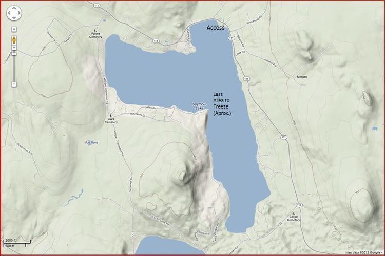
Map of Seymour Lake, Morgan, VT 05853, USA
The freshwater lake covers 1,732 acres (7.01 km2) and is 3 miles (4.8 km) long and 2 miles (3.2 km) wide; its maximum depth is 167 feet (51 m). It is shaped like a giant number "7". The lake is fed by two primary streams, an outlet from Mud Pond and Sucker Brook. The lake drains into Echo Pond, which empties into the Clyde River, Lake Memphremagog and, eventually, Canada's St. Lawrence River.
A dam is used for hydroelectric power. Construction on the dam was completed in 1928. It has a normal surface area of 2.8 square miles (7.3 km2). It is owned by Citizens Utilities Company.
The dam is made of stone with a concrete core. The foundation is soil. The height is 7 feet (2.1 m) with a length of 68 feet (21 m). Maximum discharge is 85 cubic feet (2.4 m3) per second. Its capacity is 5,200 acre feet (6,400,000 m3). Normal storage is 3,500 acre feet (4,300,000 m3). It drains an area of 20.1875 square miles (52.285 km2).
The dam was rebuilt in 2004.