
Max. depth 26 m (85 ft) | Surface area 1.39 km (0.54 sq mi) Area 139 ha | |
 | ||
Location | ||
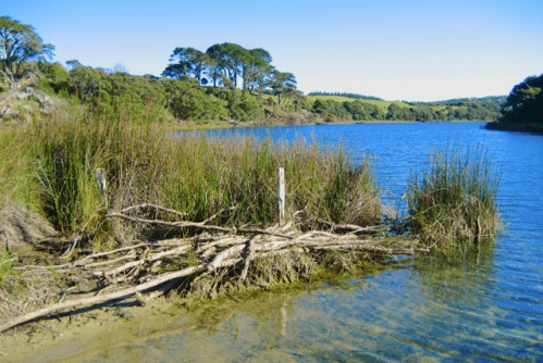
Lake Rototoa is a lake located at the northern end of the south head of the Kaipara Harbour in the Rodney District of Auckland Region, New Zealand. With a surface area of 1.623 X 10 m2 and a maximum depth of 26 m, it is the largest and deepest of a series of sand-dune lakes found along the western coastline of the North Island.
Map of Lake Ototoa, South Head 0874, New Zealand
Previously known as Lake Ototoa, its name was changed in 2013. Rototoa translates as 'Lake of the Warrior', and is part of a line of lakes known as 'the Footsteps of Kawharu' after the warrior Kawharu who fought with the Ngati Whatua tribe against the resident Waiohua, Ngaririki and Kawerau tribes in the late 17th to early 18th centuries.
References
Lake Rototoa Wikipedia(Text) CC BY-SA