
Surface elevation 1,064 m | Surface area 1 km (0.39 sq mi) Area 100 ha | |
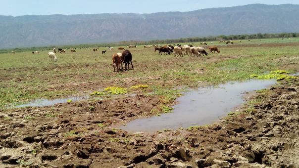 | ||
Lake Kamnarok was a lake in Kenya, at the base of the Kerio Valley, unfortunately as of 2015 the lake dried up. The name originated from the word narok, which is a species of water plant that was widely found in the lake in the early stages of the lake formation.
Map of Lake Kamnarok, Kenya
The lake was 1 km² in size. It was in existence before 1961 but the flood rains of that year led to its enlargement. The flooding disaster saw people living in the area being evacuated in order to save lives. Helicopters were used during the evacuation exercise to airlift people to the higher ground of Maab Konga- a hill near Muchukwo trading centre.
The lake was gazetted in 1984, when Lake Kamnarok Game Reserve was created. This is the home of 500 elephants.
Like other Great Rift Valley lakes, its existence is being threatened, mainly because of farming activities in the area. There are deep gullies that are likely to lead to spilling of the water, thus joining it with the Kerio River. A few measures have been taken to save the lake, including the building of gabions. The tributaries that feed Lake Kamnarok include the rivers Ketipborok, Cheplogoi, Oiwo and Lelabei .