- elevation 6,275 ft (1,913 m) - elevation 6,053 ft (1,845 m) | - location Louse Canyon | |
 | ||
- location | ||
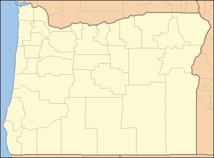
The Lake Fork West Owyhee River is a short tributary of the West Little Owyhee River in the U.S. state of Oregon. The river begins near Cat, Bend, and Pedroli springs near the eastern boundary of the Fort McDermitt Indian Reservation in southern Malheur County. It flows generally northeast to meet the larger river in Louse Canyon. The Lake Fork has no named tributaries.
Map of Lake Fork West Owyhee River, Oregon, USA
References
Lake Fork West Owyhee River Wikipedia(Text) CC BY-SA
