
Primary outflows none Surface area 14 km (5.4 sq mi) Surface elevation 1,409 m Lake type Crater lake | Primary inflows Max. depth 230 m (750 ft) Area 14 km² | |
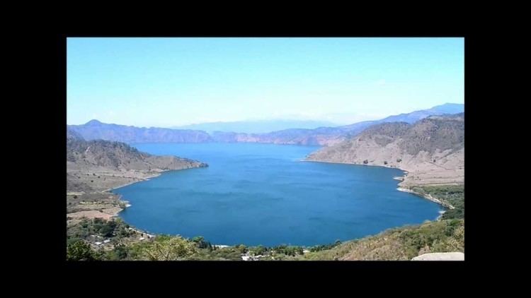 | ||
Laguna de Ayarza ([laˈɣuna ðe aˈʝarsa]) is a crater lake in Guatemala. The lake is a caldera that was created some 20,000 years ago by a catastrophic eruption that destroyed a twinned volcano and blanketed the entire region with a layer of pumice. The lake has a surface area of 14 km² and a maximum depth of 230 m. The lake has a surface elevation of 1409 m.
Map of Laguna de Ayarza, Guatemala
References
Laguna de Ayarza Wikipedia(Text) CC BY-SA