
Elevation 100 m (300 ft) Area 76.04 km² Local time Saturday 5:23 AM Administrative region Detmold | Time zone CET/CEST (UTC+1/+2) Population 35,277 (30 Jun 2010) Dialling code 05232 | |
 | ||
Weather 4°C, Wind E at 3 km/h, 79% Humidity Points of interest Ziegelei Lage, Johannissteine, Orts- u. Ziegelmuseum | ||
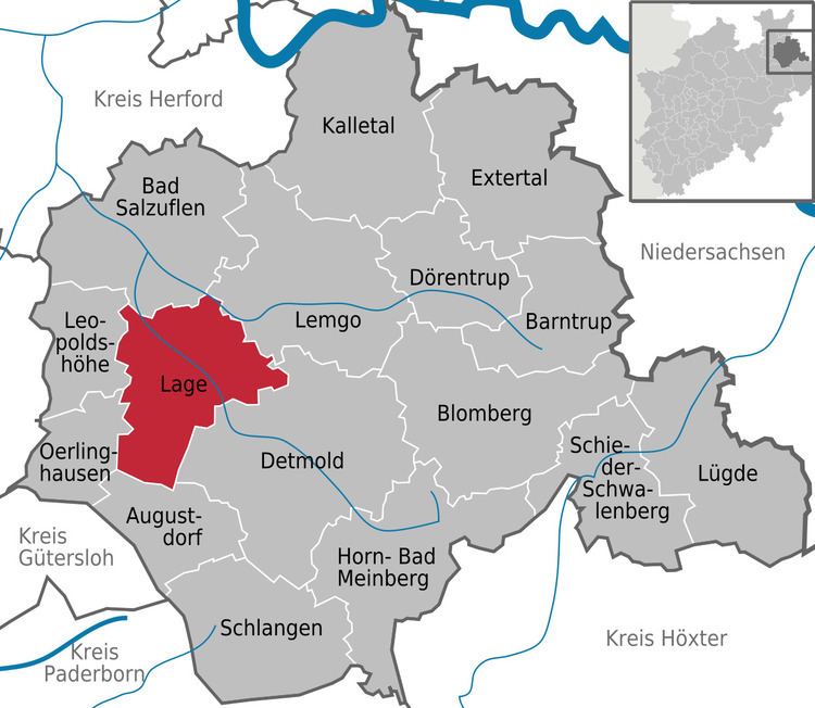
Lage is a town in the Lippe district of North Rhine-Westphalia (German: Nordrhein-Westfalen), Germany, approximatively 8 km northwest of Detmold. It has c. 34,700 inhabitants (2013). The coat of arms of Lage depicts a farmer's plough. The town is not far from the Teutoburg Forest (German: Teutoburger Wald).
Map of 32791 Lage, Germany
The town is twinned with Horsham in the United Kingdom.
References
Lage, North Rhine-Westphalia Wikipedia(Text) CC BY-SA