
Country United States Elevation 298 m Local time Friday 9:36 PM | GNIS feature ID 0469523 Area 155.9 km² Population 65 (2000) | |
 | ||
Weather 7°C, Wind NE at 18 km/h, 44% Humidity | ||
Lafayette Township is a township in Chautauqua County, Kansas, USA. As of the 2000 census, its population was 65.
Contents
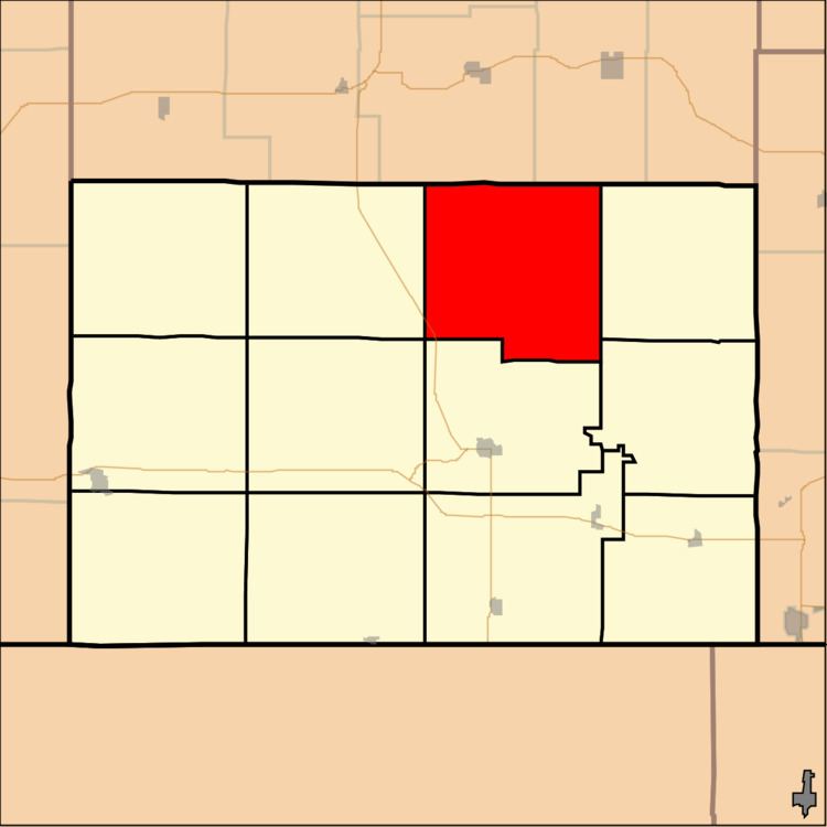
Map of Lafayette, KS, USA
Geography
Lafayette Township covers an area of 60.19 square miles (155.9 km2) and contains no incorporated settlements. According to the USGS, it contains three cemeteries: Crum, Saint Charles and Union Chapel.
The streams of Bachelor Creek, Broker Creek, Coon Creek, Coon Creek, North Salt Creek and Turkey Creek run through this township.
References
Lafayette Township, Chautauqua County, Kansas Wikipedia(Text) CC BY-SA