
Established 1907 Local time Saturday 4:48 AM | Elevation 1,474 m (4,836 ft) Area code 013 | |
 | ||
Weather 8°C, Wind SE at 10 km/h, 84% Humidity | ||
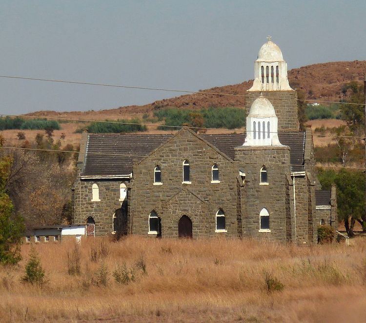
Laersdrif (formerly Delagersdrift) is a small settlement in Elias Motsoaledi Local Municipality in the Limpopo province of South Africa. It is situated on the Laersdrifspruit, a tributary of the upper Steelpoort River, 27 km southwest of Roossenekal, 72 km northeast of Middelburg and 11 km north east of Stoffberg.
Map of Laersdrif, South Africa
It was founded in 1907 on the farms Swartkoppies and De Lagersdrift, and proclaimed a township in July 1953. It takes its name from the latter farm, which in turn was named after a ford (Afrikaans: drif, Dutch: drift) at which a Boer commando laagered during the Mapoch War of 1882; a laager is laer in Afrikaans.
References
Laersdrif Wikipedia(Text) CC BY-SA