
Gaelic name Unknown Meaning of name na Area rank na Lieutenancy area Shetland | Norse name Unknown OS grid reference HU3757409715 Highest elevation 21 m Council area Shetland | |
 | ||
Lady's Holm is an island off southern Mainland in the Shetland Islands. It is not to be confused with the Maiden Stack, which is also known as "Frau Stack"
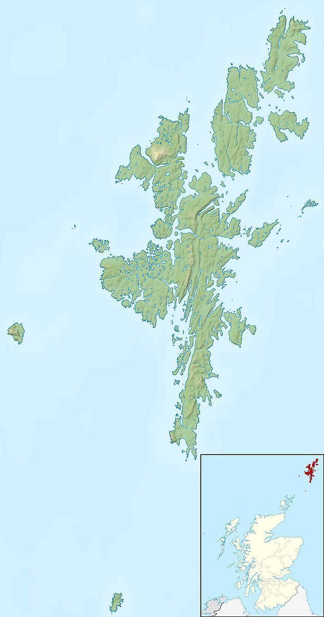
Map of Lady's Holm, United Kingdom
It is to the west of Scat Ness and the village of Scatness, a headland on Mainland, and there is also another islet nearby, Little Holm.
Sumburgh Airport is about a mile northeast.
It is 21 metres (69 ft) at its highest point, which is marked by a cairn.
It was traditionally used for grazing sheep. Grey seals also inhabit the island and they were badly affected by the oil spill from the MV Brear in 1993.
In 1942 a Bristol Blenheim Mk IV bomber of the RCAF crashed off Lady's Holm.
References
Lady's Holm Wikipedia(Text) CC BY-SA