
Region South East Sovereign state United Kingdom Postcode district TN29 9 Local time Friday 11:36 PM District Shepway | Country England Post town Romney Marsh Police Kent Shire county Kent UK parliament constituency Folkestone and Hythe | |
 | ||
Weather 9°C, Wind SE at 8 km/h, 94% Humidity | ||
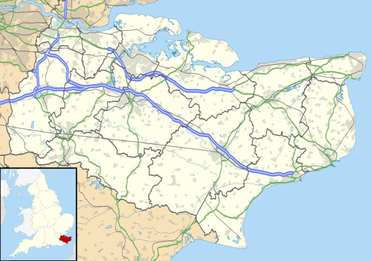
Lade is a coastal hamlet in the county of Kent, England.
Map of Lade, New Romney, UK
Lade is adjacent to, and north of, Lydd-on-Sea (where the 2011 Census population was included). It had a railway station on the Romney, Hythe and Dymchurch Railway which is now closed.
References
Lade, Kent Wikipedia(Text) CC BY-SA