
 | ||
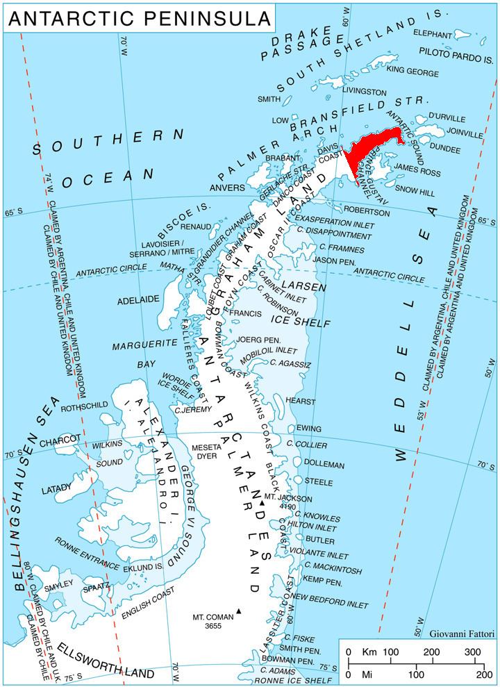
Laclavère Plateau (63°27′S 57°47′W) is a plateau, 10 nautical miles (19 km) long and from 1 to 3 nautical miles (2 to 6 km) wide, rising to 1,035 metres (3,400 ft) between Misty Pass and Theodolite Hill, Trinity Peninsula, Antarctica. The plateau rises south of Schmidt Peninsula and the Chilean scientific station, Base General Bernardo O'Higgins Riquelme. It was named by the UK Antarctic Place-Names Committee (1963) after French cartographer Georges R. Laclavère, President of the Scientific Committee on Antarctic Research, 1958–63.
Map
References
Laclavère Plateau Wikipedia(Text) CC BY-SA