
Primary inflows Basin countries Canada Surface elevation 1,320 m Outflow location Bow River Cities Lac Des Arcs | Primary outflows Bow River Settlements Lac des Arcs Province Alberta Inflow source Bow River | |
 | ||
Similar Rocky Mountains, Bow Valley Provincial Park, Barrier Lake, Grotto Mountain, Canadian Rockies | ||
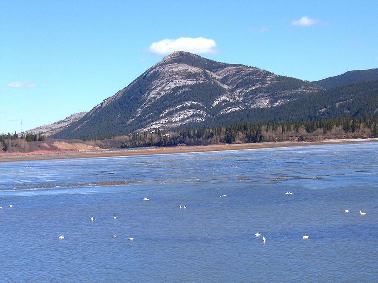
Lac des Arcs is a lake in Alberta, Canada that forms part of the Bow River.
Map of Lac des Arcs, Bighorn No. 8, AB, Canada
Located within Alberta's Rockies, the Hamlet of Lac des Arcs is located on the lake's southeastern shore, while the Lafarge Exshaw Plant and a limestone quarry lie on the lake's northern shore.
The Trans-Canada Highway runs along the southern shore, and a Canadian Pacific Railway line and Highway 1A follow the northern shore. The lake is also locally known for having a small island with nothing but a picnic bench on it, which is visible from the Trans-Canada Highway.
References
Lac des Arcs (Alberta) Wikipedia(Text) CC BY-SA