
Country Canada RCM Abitibi Time zone EST (UTC−5) Area 1,856 km² Population 15 (2011) Area code 819 | Region Abitibi-Témiscamingue Constituted January 1, 1986 Highways Route 397 Local time Friday 3:00 PM Province Québec | |
 | ||
Weather -21°C, Wind NW at 19 km/h, 52% Humidity | ||
Lac-Despinassy is an unorganized territory in the Canadian province of Quebec, located within the Abitibi Regional County Municipality. The area is east of the municipality of Saint-Dominique-du-Rosaire, north of La Morandière, Rochebaucourt and the parish municipality of Senneterre, and west of the city of Senneterre.
Contents
Map of Lac-Despinassy, QC, Canada
The eponymous Lake Despinassy is the territory's largest lake and is named after the geographic township of Despinassy. This name was already assigned to the area in 1911 and comes from Louis-Auguste-Victor Despinassy, a lieutenant of the Royal Artillery and Engineers Corps in General Montcalm's army. The township is swampy, mostly forested, and flat, not exceeding 325 metres (1,066 ft) above sea level. The Hurault and Lavigne Creeks, as well as the Despinassy and Laflamme Rivers, flow through the territory, while the Bell River forms its eastern boundary.
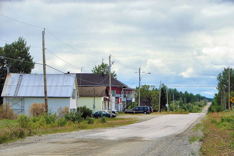
A few kilometres west from Lake Despinassy along Route 397 is the hamlet of Despinassy (48°45′48″N 77°26′26″W), the territory's only population centre. Founded in 1948, it is one of the youngest communities in the Abitibi. By 1952, there were 140 families, but most have since left. Currently the area is being explored for potential mining of gold deposits.
Demographics
Population trend: