
Country India District Birbhum Assembly constituency Labpur Area 264.8 km² | State West Bengal Parliamentary constituency Bolpur Time zone IST (UTC+5.30) | |
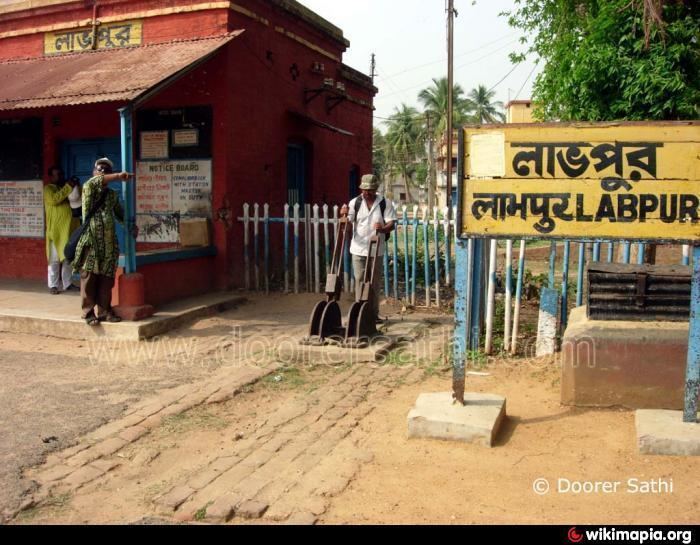 | ||
Labpur (community development block) (also spelled Labhpur) (Bengali: লাভপুর সমষ্টি উন্নয়ন ব্লক) is an administrative division in Bolpur subdivision of Birbhum district in the Indian state of West Bengal. Labhpur and Nanoor police stations serve this block. Headquarters of this block is at Labhpur.
Contents
Map of Labpur, West Bengal 731303
Geography
Labpur is located at 23°48′37″N 87°47′44″E.
Labpur community development block has an area of 264.82 km2.
Gram panchayats
Gram panchayats of Labpur block/panchayat samiti are: Bipratikuri, Chowhatta-Mohodari I, Chowhatta-Mohodari II, Dwarka, Hatia, Indus, Jamna, Kurumnahar, Labpur I, Labpur II and Thiba.
Demographics
As per 2001 census, Labpur block had a total population of 176,803, out of which 90,948 were males and 85,855 were females. Labpur block registered a population growth of 15.15 per cent during the 1991-2001 decade. Decadal growth for Birbhum district was 17.88 per cent.Decadal growth in West Bengal was 17.84 per cent.
Scheduled castes at 57,500 formed around one-third the population. Scheduled tribes numbered 7,487.
Literacy
As per 2001 census, Labpur block had a total literacy of 62.09 per cent for the 6+ age group. While male literacy was 70.96 per cent female literacy was 52.68 per cent. Birbhum district had a total literacy of 61.48 per cent, male literacy being 70.89 per cent and female literacy being 51.55 per cent.