Harman Patil (Editor)

Labangan, Zamboanga del Sur

Updated on
Edit
Like
Comment
Share on FacebookTweet on TwitterShare on LinkedInShare on Reddit
Country
  
Philippines

Barangays
  
30

Area
  
157.9 km²

Province
  
Zamboanga del Sur

Founded
  
July 20, 1949

Time zone
  
PST (UTC+8)

Local time
  
Friday 11:19 PM

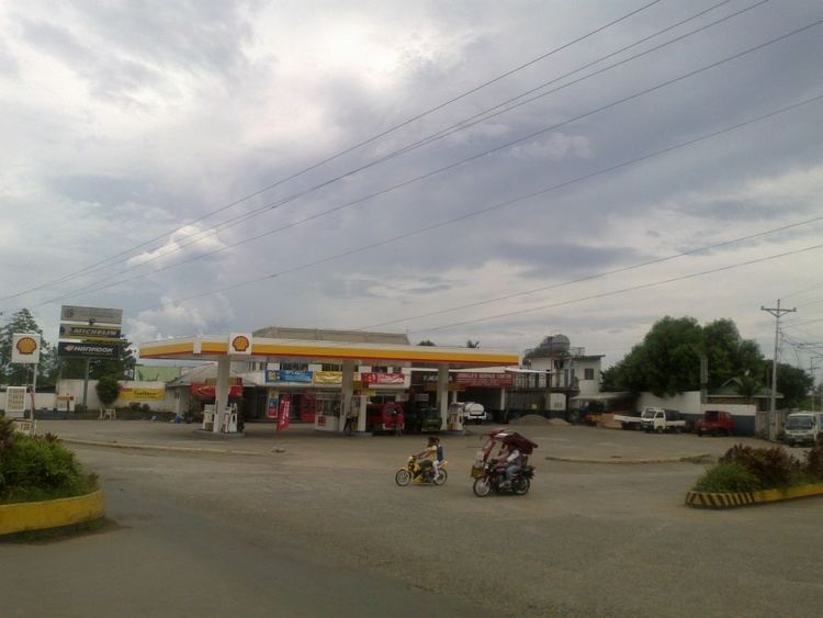
Labangan, Zamboanga del Sur wwwzamboangacomzimages77fShellGasStation

Region
  
Zamboanga Peninsula (Region IX)

District
  
2nd district of Zamboanga del Sur

Weather
  
25°C, Wind NE at 5 km/h, 92% Humidity

Neighborhoods
  
Pulacan, Upper Tanagun, Binayan

Labangan is a third class municipality in the province of Zamboanga del Sur, Philippines. According to the 2015 census, it has a population of 41,790 people.

Contents

Map of Labangan, Zamboanga del Sur, Philippines

Barangays

Labangan is politically subdivided into 25 barangays.

Attractions

  • Pulacan Falls - 12 km. from Pagadian City, and covering an area of 400 square meters. It is the source of water for the Labangan irrigation system. Two kilometers from the area is the 134-hectare Home Defense Center. The falls can be reached easily by any motor vehicle. With the opening of the PADAP road, Pulacan Falls became a beautiful camping and picnic site. It now has a permanent Boy and Girl Scout site with facilities and has been the location of regional and provincial jamborees.
  • Army Site - The new division site of 1st Infantry (TABAK) Division, Philippine Army, is located on the top of the Hill of Kuta Major Cesar L Sang-an.
  • References

    Labangan, Zamboanga del Sur Wikipedia