Climate Aw Local time Friday 5:15 AM | Departament Lempira Area 84 km² Population 13,319 (2015) | |
 | ||
Municipality since 3 May 1916; 100 years ago (1916-05-03) Weather 18°C, Wind NE at 10 km/h, 100% Humidity | ||
La Unión is a municipality in the Honduran department of Lempira.
Contents
Map of La Uni%C3%B3n, Honduras
It is one of the smallest municipalities of the Lempira department; travel to La Unión is a challenge. One way is to go 75 km from Gracias city on the common road for La Iguala and San Rafael, about 3 km before San Rafael is a left turn. An additional 13 km must be travelled. Another way is via Santa Bárbara-El Nispero-San Jerónimo-San Rafael-La Unión; the first 3 locations are in Santa Bárbara department.
History
Formerly La Unión was a village called "Pueblo Nuevo", in the jurisdiction of "El Conal" (currently San Rafael). The municipality was created on 3 May 1916.
Geography
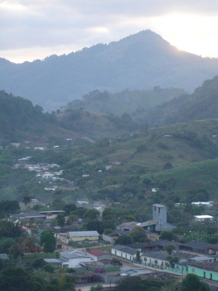
La Unión is located in a plateau-like surface, guarded by dense, green mountains. Despite the apparent elevation from sea level, sub-tropical forests are present and the weather is tropical.
Boundaries
Its boundaries are:
Population
The majority of people is a cross-breed of Native Americans and Spanish settlers, but in recent years there has been an increase in the population of foreigners. At one point, there were even three "Chinos" but two were Japanese and the third was actually a Honduran man from Tegucigalpa who looked like a "Chino".
Tourism
La Unión is certainly an amazing place to visit, it is worth all the effort to get there because the mountains around it are imposing, dense and green. It has some streets paved with rocks and a viewer, from where the visitor can enjoy a nice landscape of the whole town. There are several places with internet access.
