
Population (2006) 575 Area 7.68 km² | Region Normandy Canton Clères Time zone CET (UTC+1) Local time Friday 10:43 AM | |
 | ||
Weather 8°C, Wind SE at 11 km/h, 98% Humidity | ||
La Rue-Saint-Pierre is a commune in the Seine-Maritime department in the Haute-Normandie region in northern France.
Contents
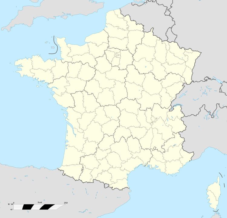
Map of 76690 La Rue-Saint-Pierre, France
Geography
A village of farming and a little light industry, situated in the Pays de Caux some 13 miles (21 km) northeast of Rouen, at the junction of the D6, D15 and the D928 roads. The A28 autoroute passes through the commune’s south-eastern section.
Places of interest
References
La Rue-Saint-Pierre, Seine-Maritime Wikipedia(Text) CC BY-SA