
Population (2006) 366 Local time Friday 9:34 AM | Region Normandy Canton Criquetot-l'Esneval Area 5.81 km² | |
 | ||
Weather 9°C, Wind E at 13 km/h, 99% Humidity | ||
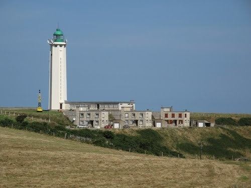
La Poterie-Cap-d’Antifer is a commune in the Seine-Maritime department in the Haute-Normandie region in northern France.
Contents
Map of La Poterie-Cap-d'Antifer, France
History
During World War II, Operation Biting (also known as the Bruneval Raid) was a successful Combined Operations raid to capture components of a German Würzburg radar set at La Poterie-Cap-d’Antifer and evacuated by the Bruneval beach on 27/28 February 1942. On 6 June, 1944, small boats simulated an invasion fleet headed towards the area as part of Operation Taxable.
Geography
A farming village in the Pays de Caux, some 12 miles (19 km) north of Le Havre, at the junction of the D111 and D950 roads. The commune borders the English Channel and has a beach and some spectacular limestone cliffs.
Places of interest
References
La Poterie-Cap-d'Antifer Wikipedia(Text) CC BY-SA