
Topo map USGS Pozo Summit Country United States of America | Elevation 727 m | |
 | ||
District | ||
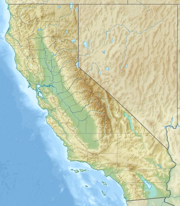
The La Panza Range is a mountain range in the Central Coast of California region in San Luis Obispo County, east of the small town of Santa Margarita. It is one of the California Coast Ranges and in the Los Padres National Forest.
Map of La Panza Range, California 93453, USA
The range is about 30 miles long and runs from northwest to southeast between the Santa Lucia Range on the west and the Temblor Range on the east. It rises up to 4,054 feet. The range is a northern extension of the Sierra Madre Mountains, a mountain range beginning in the northern part of Santa Barbara County.
References
La Panza Range Wikipedia(Text) CC BY-SA