Rahul Sharma (Editor)

La Guingueta d'Àneu

Updated on
Edit
Like
Comment
Share on FacebookTweet on TwitterShare on LinkedInShare on Reddit
Country
  
Spain

Elevation
  
938 m (3,077 ft)

Area
  
108.4 km²

Population
  
317 (2014)

Community
  
Catalonia

Comarca
  
Pallars Sobirà

Website
  
guingueta.ddl.net

Local time
  
Friday 5:34 AM

Province
  
Province of Lleida

La Guingueta d'Àneu httpsuploadwikimediaorgwikipediacommonsthu

Weather
  
9°C, Wind W at 8 km/h, 24% Humidity

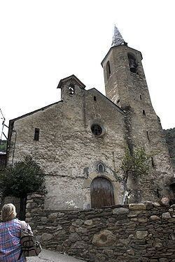
La Guingueta d'Àneu is a municipality in the comarca of the Pallars Sobirà in Catalonia, Spain. It is situated in the valley of the Noguera Pallaresa river below the reservoir of La Torrassa. It is linked to Sort by the C-147 road.

Contents

Map of 25597 La Guingueta d'%C3%80neu, Lleida, Spain

Subdivisions

The municipality of la Guingueta d'Àneu is formed of thirteen villages. Populations are given as of 2005:

  • Berrós Jussà (24)
  • Burgo (7)
  • Cerbi (20), on the right bank of the Unarre river, at the foot of Mont-roig mountain (2864 m)
  • Dorve (11)
  • Escalarre (26), on the left bank of the Unarre river
  • Escaló (95), on the C-147 road
  • Escart (16), on the left bank of the Escart river
  • Estaron (16), on the slopes of the Aurati range
  • Gavàs (17)
  • La Guingueta (78)
  • Jou (25), in the north-east of the municipality
  • Llavorre (5)
  • Unarre (14), in the valley of the Unarre river
  • References

    La Guingueta d'Àneu Wikipedia