
Elevation 1,500 m (4,900 ft) | Department Valle del Cauca Local time Thursday 9:28 PM | |
 | ||
Weather 20°C, Wind SE at 8 km/h, 88% Humidity | ||
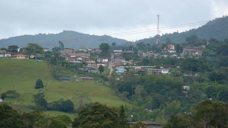
La Cumbre (The Summit) is a town and municipality in Colombia, northwest of Cali, in the Valle del Cauca Department. It is located in the West Andes above the city of Yumbo.
Contents
- Map of La Cumbre Valle del Cauca Colombia
- Polito Geographical Limits
- Areas of the Municipality
- References
Map of La Cumbre, Valle del Cauca, Colombia
La Cumbre is known for its simplicity, lack of hustle and bustle and small-town way of life. Many day tourists from Cali travel to La Cumbre by car or tourist train. The weather is cooler, and considered a welcome respite from the sunny and often hot weather of Cali. The most important industry in the area is agriculture.
Polito-Geographical Limits
This municipality is surround by the following municipalities of Valle del Cauca Department:
Areas of the Municipality
The Corregimento of Bitaco occupies the southernmost portion of the municipality. Within this area is the section called Chicoral which is home to the Hindú Tea Plantation and the Bitaco Forest Reserve. This area connects to the west with Dapa through a foggy, forested pass that crosses into the Cauca Valley.