
Elevation 1,933 m (6,342 ft) Area 1,113 km² Local time Thursday 7:56 PM | Website www.concordia.gob.mx Population 44,082 (2010) | |
 | ||
Weather 28°C, Wind E at 13 km/h, 37% Humidity | ||
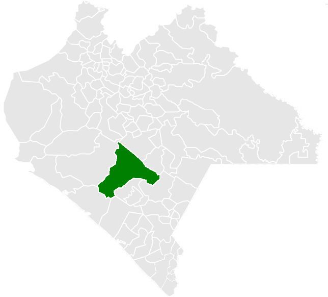
La Concordia is a town and one of the 119 Municipalities of Chiapas, in southern Mexico.
Map of 30360 La Concordia, Chis., Mexico
As of 2010, the municipality had a total population of 44,082, up from 39,770 as of 2005. It covers an area of 1112.9 km².
As of 2010, the town of La Concordia had a population of 7,641. Other than the town of La Concordia, the municipality had 800 localities, the largest of which (with 2010 populations in parentheses) were: Benito Juárez (2,715), El Ámbar (El Ámbar de Echeverría) (2,592), classified as urban, and La Tigrilla (2,346), Diamante de Echeverría (2,157), Dolores Jaltenango (2,090), Independencia (1,953), Plan de Agua Prieta (1,752), Rizo de Oro (1,434), Reforma (1,148), Ignacio Zaragoza (1,127), El Ramal (Porvenir) (1,054), and Nueva Libertad (1,005), classified as rural.