
Population (2012) 2,318 Local time Monday 2:13 AM | Intercommunality Pays des Écrins Area 64.55 km² | |
 | ||
Weather 10°C, Wind N at 6 km/h, 73% Humidity Points of interest Remontées Mécaniques, Le musée des mines et les min, Réserve Biologique des Desli | ||
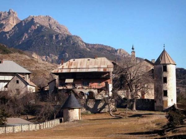
L'Argentière-la-Bessée is a commune of the Hautes-Alpes department in the Alps in southeastern France.
Map of 05120 L'Argenti%C3%A8re-la-Bess%C3%A9e, France
The town lies on the River Durance, which is used for kayaking, white-water rafting and other water sports. The Argentiere Canoe Slalom Course is in the Durance River south of the town. The town is located on the edge of the Écrins National Park. There is an SNCF station in the town with trains running to Briançon and Paris. The village has an old silver mine (which is where the name of L'Argentière derived from), which is now opened to tourists.
References
L'Argentière-la-Bessée Wikipedia(Text) CC BY-SA