Population (2012) 82 Local time Monday 1:55 AM | Region Occitanie Canton Vallespir-Albères Area 17.1 km² | |
 | ||
Intercommunality Communauté de communes du Vallespir Weather 10°C, Wind NW at 14 km/h, 64% Humidity | ||
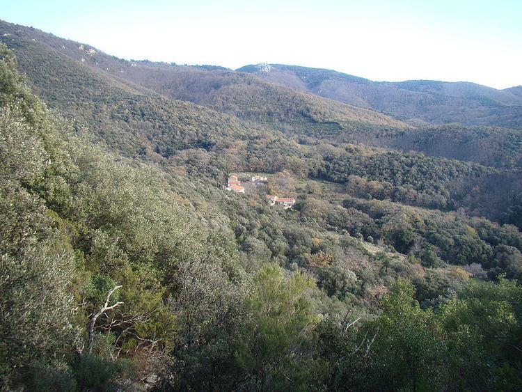
L'Albère (Catalan: L'Albera) is a commune in the Pyrénées-Orientales department in southern France.
Contents
- Map of 66480 LAlbC3A8re France
- Localisation
- Toponymy
- History
- Canton
- Education
- Events
- Health
- Sports
- Sites of interest
- References
Map of 66480 L'Alb%C3%A8re, France
Localisation
L'Albère is located in the canton of Vallespir-Albères and in the arrondissement of Céret.
Toponymy
The name of L'Albère is clearly issued from the Albera Massif in which it is located. Although always plural in French (Albères) concerning the mountain range, the name remains singular through the ages (L'Albère) for the commune. On the contrary, in Catalan, the name has always been singular for both the mountain (Serra de l'Albera) and the place (L'Albera). ·
History
Early settlements of population growed near the two primitive churches : Saint Martin, already named in 844 (cella Sancti Martini de Monte Furcato) and Saint John, known since 1089 (ecclesiae Sancti Ioannis de Albera). The hamlets of Saint Martin and Saint John both still exist nowadays, each with its church.
Canton
In 1790, the commune of L'Albère is included into the canton of Argelès, then part of the Céret district. It is moved to the canton of Laroque in 1793 and back to the canton of Argelès in 1801, before being finally included in the canton of Céret in 1947. Following the French canton reorganisation which came into effect in March 2015, L'Albère is now part of the canton of Vallespir-Albères.
Education
There is no school in L'Albère. The nearest is in Le Perthus.
Events
Health
There are no doctors in L'Albère. The nearest are in Le Perthus.
Sports
L'Albère has several climbing sites.
