
Elevation 266 m Local time Wednesday 10:28 PM | Time zone GMT (UTC+0) Area 1,342 km² | |
 | ||
Weather 31°C, Wind SW at 8 km/h, 21% Humidity | ||
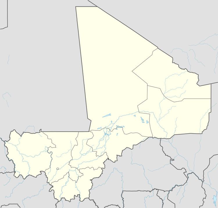
Léré is a small town and rural commune of the Cercle of Niafunké in the Tombouctou Region of Mali. The commune covers an area of approximately 1,342 square kilometers and contains the town and 18 villages. In the 2009 census the commune had a population of 16,072.
Map of L%C3%A9r%C3%A9, Mali
The town is around 60 km east of the Mauritanian border. A weekly market is held in the town on Fridays that attracts people from the surrounding settlements.
References
Léré, Mali Wikipedia(Text) CC BY-SA