
Population (2008) 1,217 Area 15.98 km² | Canton Léré Time zone CET (UTC+1) Local time Wednesday 11:27 PM | |
 | ||
Weather 6°C, Wind N at 5 km/h, 94% Humidity | ||
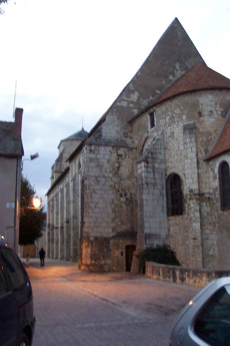
Léré is a commune in the Cher department in the Centre region of France.
Contents
Map of 18240 L%C3%A9r%C3%A9, France
Geography
A farming area comprising a very small town and several hamlets situated by the banks of the Loire lateral canal in the valley of the river Loire, some 35 miles (56 km) northeast of Bourges, at the junction of the D951, D751 and the D42 roads.
Sights
References
Léré, Cher Wikipedia(Text) CC BY-SA