Country France Department Ain Time zone CET (UTC+1) Local time Monday 1:47 AM | Area 15.95 km² Population 780 (2011) | |
 | ||
Weather 12°C, Wind N at 8 km/h, 78% Humidity | ||
L'Abergement-Clémenciat is a commune in the department of Ain and the region of Auvergne-Rhône-Alpes in eastern Metropolitan France.
Contents
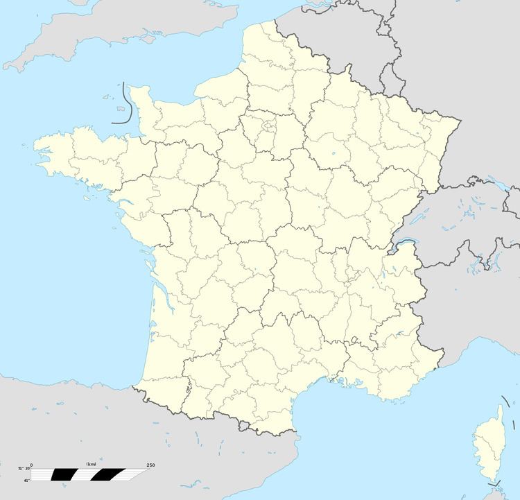
Map of 01400 L'Abergement-Cl%C3%A9menciat, France
Geography
The Chalaronne flows west-northwest through the southern part of the commune.
Toponomy
There are 4 communes in Ain with the name of Jura on a river. The other three are Le Petit-Abergement, Le Grand-Abergement, and L'Abergement-de-Varey. It seems to designate agricultural concessions in the 11th-15th centuries.
History
It was once a large timber plantation.
Population
In 2012, Abergement-Clémenciat had 777 inhabitants (an increase of 8% over 1999). The town occupied the 11,540th place nationally, while it was 11,370th in 1999, and the 197th at the departmental level of 419 municipalities.
Changes in the number of inhabitants is known throughout the population censuses conducted in Abergement and Clémenciat in 1793 and Abergement-Clémenciat since 1861. The maximum population was reached in 2006 with 811 inhabitants.
