
Country Canada Time zone EST (UTC−5) Area code(s) 450 and 579 Area 8.9 km² Local time Sunday 11:21 PM | Constituted March 21, 1922 Postal code(s) J7V 8P3 Highways No major routes Population 105 (2011) Province Québec | |
 | ||
Weather -4°C, Wind W at 3 km/h, 73% Humidity RCMs Montérégie, Vaudreuil-Soulanges Regional County Municipality | ||
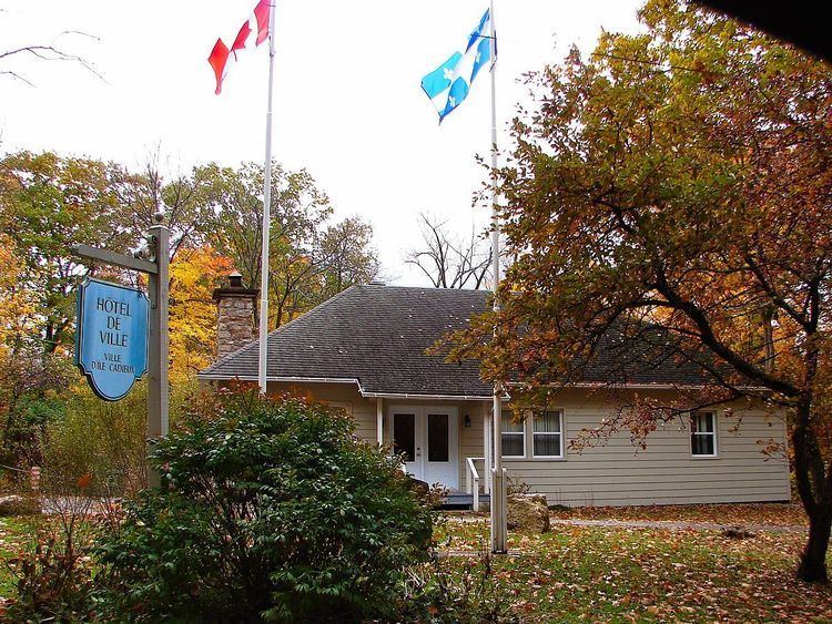
L'Île-Cadieux is a village and municipality in the Montérégie region of Quebec, Canada, part of the Vaudreuil-Soulanges Regional County Municipality. It is located on and contiguous with Cadieux Island, which projects into Lake of Two Mountains just north off Vaudreuil-sur-le-Lac. The population as of the Canada 2011 Census was 105.
Contents
Map of L'%C3%8Ele-Cadieux, QC, Canada
History
The island was formerly known as Vaudreuil Island but was named "Île à Cadieu" in an unpublished document of the second half of the nineteenth century. This name could be a reference to one of two Cadieux, Pierre and Hyacinthe, who owned land in the first concession along the Cove of Vaudreuil at that time.
In 1922, the municipality was formed by separating from the Parish Municipality of Saint-Michel-de-Vaudreuil.